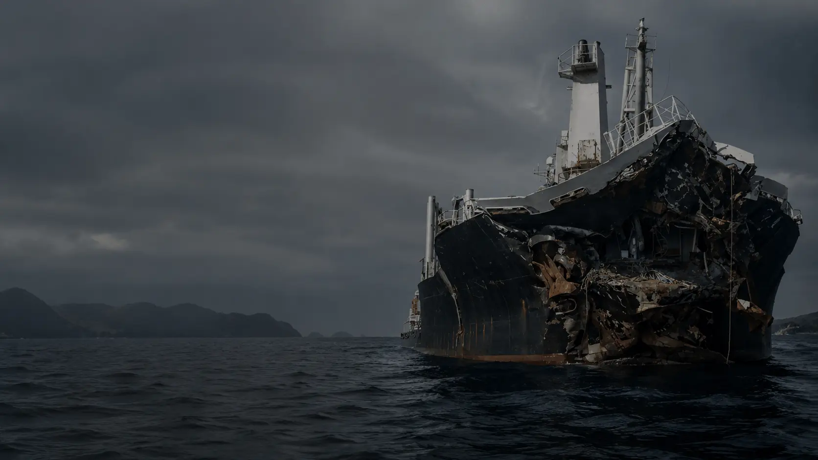
The Stakes
In the last two years, disruptions across three critical shipping chokepoints restricted transits by up to 75% and stranded over $125 billion in cargo, contributing to tens of billions of dollars in economic losses per year.
Capabilities
Persistent visibility across the world's busiest maritime chokepoints.
All Weather Imaging
Monitor vessel movement through clouds, storms, and darkness using Synthetic Aperture Radar.
SAR+AIS Data Fusion
Fuse vessel detections with AIS broadcasts to build a complete operational picture of maritime traffic.
Chokepoint Monitoring
Monitor traffic density and congestion patterns around critical shipping corridors and ports.
Traffic Pattern Monitoring
Identify emerging bottlenecks, unusual routing behavior, and developing congestion risks.
High Revisit Monitoring
Track fleet movement continuously to improve operational planning and response times.
Wide Area Coverage
Monitor major trade routes, ports, and maritime corridors across entire regions simultaneously.
Blog
Predicting Port Congestion Through Persistent Maritime Monitoring
Explore the limitations of traditional vessel tracking systems and how persistent maritime monitoring enables predictive logistics intelligence.
FAQ
Frequently Asked Questions
Let's Talk
Tell us about your operational requirements.
Other Use Cases